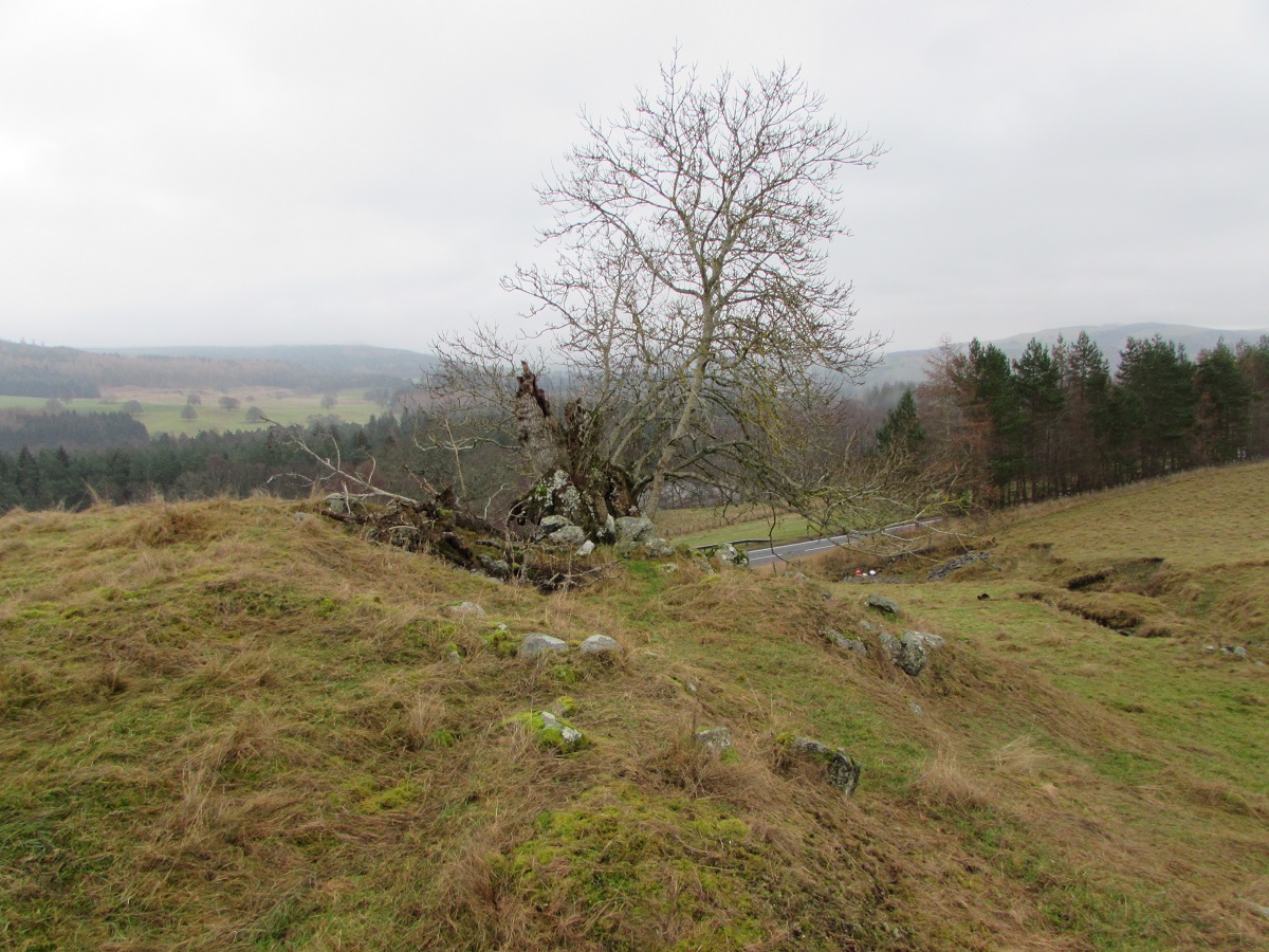
The site of Glaicneid is shown as two sets of buildings to the east of Easter Invervack on James Stobie's 1783 map. One set of buildings was close to the River Garry and all traces have been destroyed during the building of the A9. Another set of buildings was on a small, flat, grassy promontory further up the hill, beside a small stream. Although the township was inhabited right up until the 1800s, the First Edition of O.S. map for Perthshire (1867), shows no ruins, just a small mound.
One of the first references to Glaicneid appears in the Blair Atholl Session Minutes for 1719.
(26th February 1719) Margaret Forbes, widow at Invervack, had an illegitimate child by Neil Stewart there. (The child had been baptised on
the 7th February 1719, and named Duncan)
(19th July 1719) Margaret Forbes, claimed that the father was Neil Stewart in Invervack, and he confessed, but the Session had a
suspicion that the real father was his brother who was a married man, but could not prove it.
(11th December 1719) Robert Gow, late Beadle received from Neil Stewart in Invervack, his bill which Donald Stewart in Glaicneid,
his brother, had given in.
(29th December 1719) Donald Stewart, again claimed that he had not fathered a child by Margaret Forbes. Duncan Stewart, married
and aged about 40 years said that he knew nothing of the matter, and Neil Stewart, married and aged about 40 years said likewise.
The baptisms for Blair Atholl parish show that Glaicneid was being farmed by more than one family. Donald Stewart and Christian McFarland were living there at the same time that James Wallace and Margaret Fergusson had a child baptised (3rd July 1720). Likewise, John McGlashan and his wife Grissel Stewart had a child, Elizabeth, baptised while Angus Robertson and his wife Margaret Stewart were living at Glaicneid.
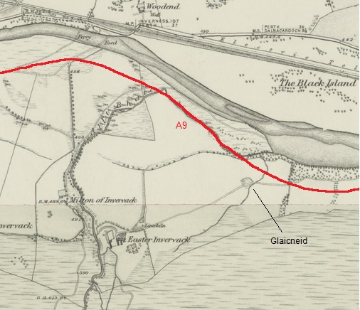
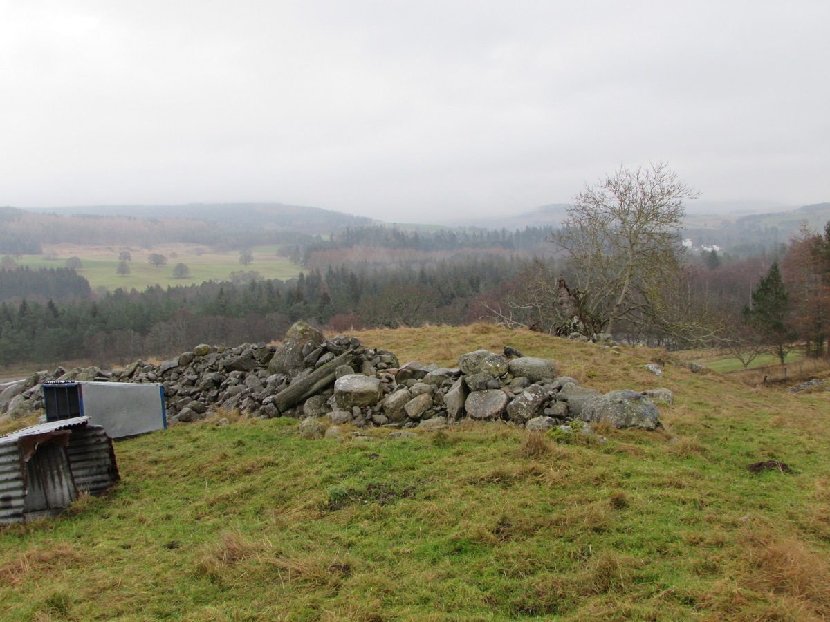
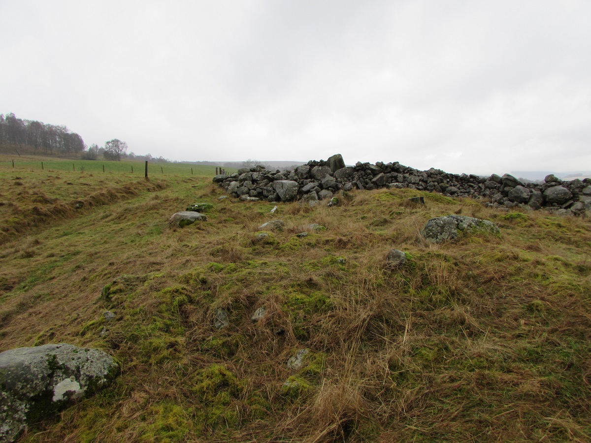
Today, there appears to be little sign of occupation at Glaicneid, and the site has been used as a dump for field clearance.
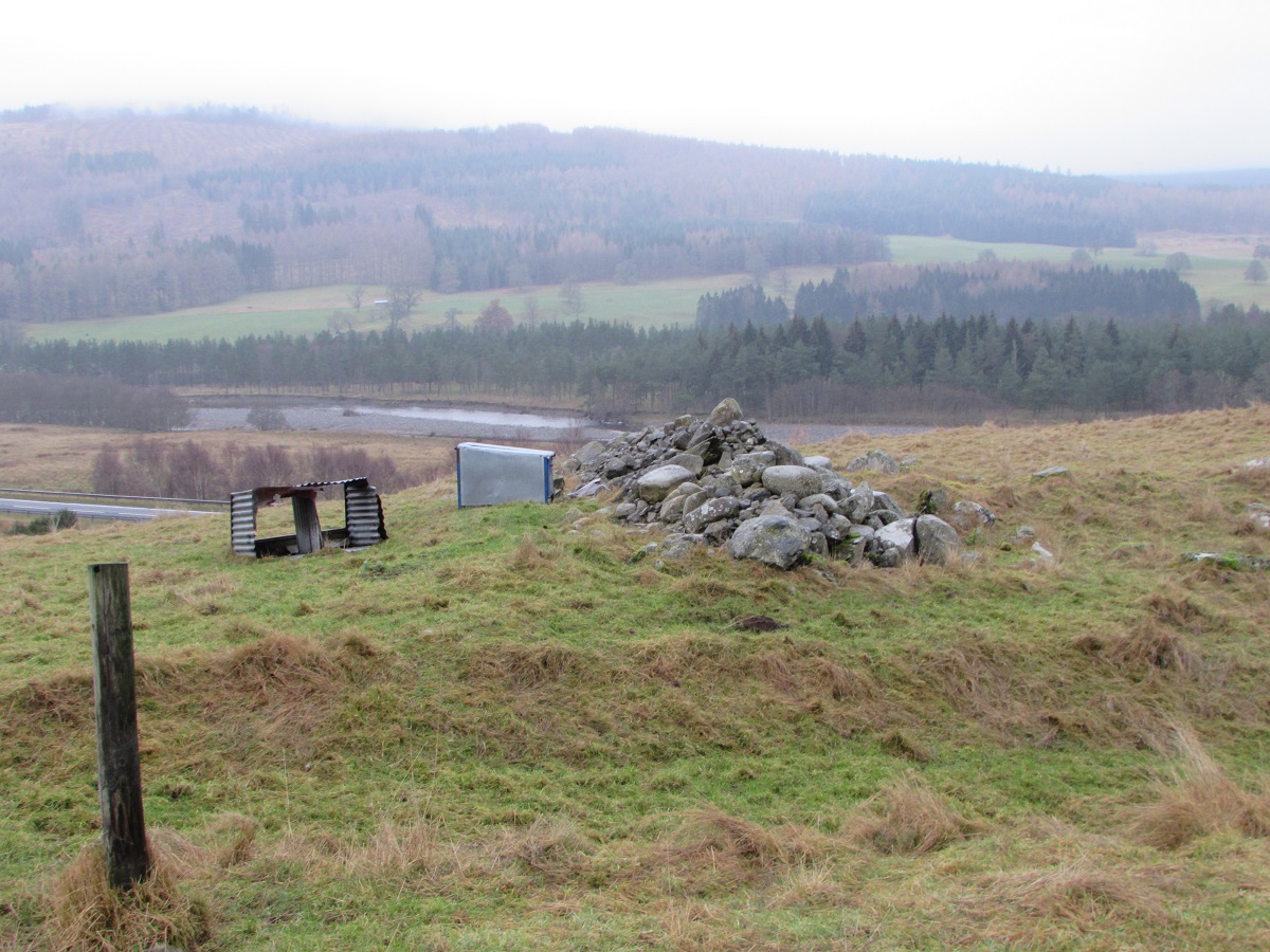
The pile of stones from field clearanace runs across the hill, and it is possible that they have been dumped on the remains of an original stone wall which was giving some protection from the pervailing wind to the houses on the knoll.
At the eastern end of the promontory beside the remains of an old treestump there is a stone lined depression, which appears to have been used as a lime kiln. It is unlikely that a tree would have survived growing so close to a lime kiln, so the kiln was probably built well over 200 years ago.
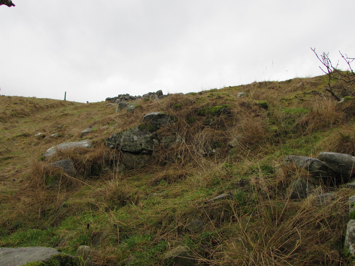
The stream beside the settlement flows through a well-worn gulley. However, at one point below the knoll there is a pile of rocks which, at first glance, appear to be quite natural but have been placed there deliberately. Moreover, to the right of these stones, there is a small square shaped hole of human construction.

The photograph above shows the 'hole' to the right of the stones, and flash photography shows the interior.
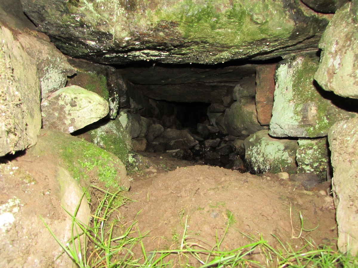
The 'hole' is the entrance to a small stone-lined chamber which initially looked like a secret store. However, although dug deeply into the embankment, the entrance is only about 30cm by 20cm, making it too small to hold whisky casks, and too close to the stream to make it suitable for hiding proscribed weapons. The presence of the stream is significant, and it is more likely that the 'chamber' was once open at both ends to form a stone-lined passage. If the stone pile jutting into the stream originally formed a dam with a sluice, then the passageway would have been a laide taking water to a small clack-mill.
| Blair Atholl Marriages | Return to Home Page |
|---|