The homesteads of Balnald have a variety of different spellings: Balnauld, Balinald, and Blinald.
There were two homesteads called 'Balnald' in Strathtummel. One is nearly opposite the Lochtummel Inn and the other just to the north of Borenich Farm. To overcome this problem, in the 1900s, the owners of the one near to the Lochtummel Inn changed their spelling to 'Balnauld'. This web-site uses these two spellings to distinguish between the two homesteads (e.g. with the census returns). However, in the Old Parish Records the same spelling is used for both. Consequently it is unclear as to which is meant, except when it is referred to as 'Balnald of Borenich', which is the easterly one by Borenich farm.
In addition there was another Balnald in Glen Fincastle to the east of Borenich, but this was in the parish of Dull. In all cases the Blair Atholl OPR refers to this as Balnald of Fincastle.
It is evident that 'Blinald' and 'Balnald' are spellings of the same place, as the will of John Stewart in Ballachastle and Grissell Forbes, his spouse (1762) states that their daughter Margaret was married to John Stewart in Balnauld (and that Margarets brother, John Stewart had died in July 1762). John Stewart and Margaret Stewart in Blinald had a daughter baptised on 8th October 1769 according to the Blair Atholl OPR.
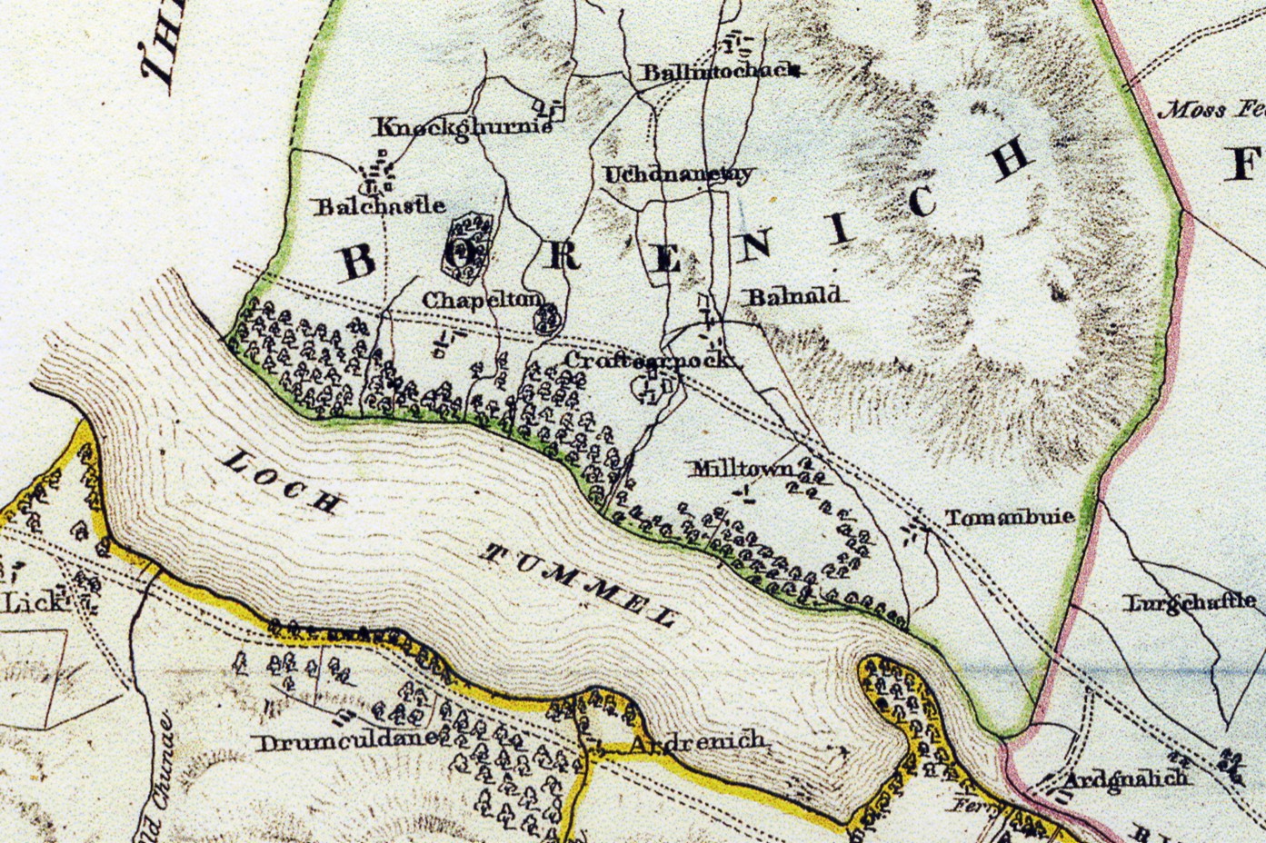
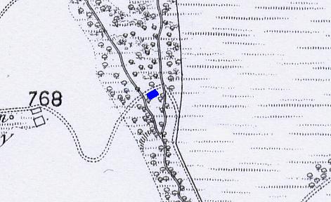
John Waterstons 1832 map of 'The Estates of Fincastle (Borenich), Lick and Duntaulich' shows Balnald as being just to the north of Croftcarnoch (the present day Borenich Farm), where two streams meet and this would be apt as this is the Gaelic meaning of the name.
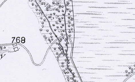
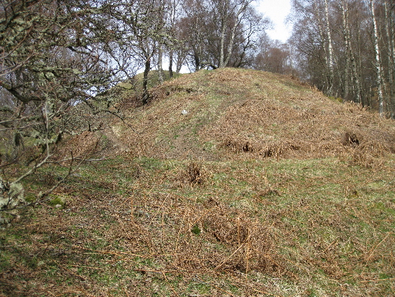
Neither the 1st edition of the Ordnance Survey 6-inch map (Perthshire 1867, sheet 30), nor the Perth & Kinross Historical Environment Record show any trace of habitation, but there are the remains of at least two buildings where the old track fords the streams. To the west of the stream, before the ford, there is the remains of the stone footing of a dwelling slightly above the track. (O.S. Ref: NN 83693 60376)
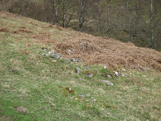
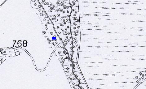
There are the remains of a second dwelling further to the east, between the two streams and just below the track between the two fords. The stone footings are so covered by vegetation that only an outline remains. (O.S. Ref: NN 83732 60398)
This Balnald is not mentioned in the census of 1841, so it would appear that the homestead fell into disuse between 1832 and 1841 which would not be unusual with so many people leaving Borenich at that time. The 1851 census return for Tenandry lists Balnald as a farm of 60 acres, suggesting that the name 'Balnald' was now being applied to the homestead which had been previously known as Croftcarnoch. There is an adjacent homestead listed as 'Croft', which was occupied by the widow, Janet Stewart. Perhaps this is the old Balnald, but equally it might be Milltown of Borenich.
After this date Balnald of Borenich is used to describe what is now known as Borenich farm.
| Details of Borenich Homesteads | Stewart Births at Balnald | Stewart Marriages | Return to Home Page |
|---|